01 — Fuel Hazard
↗
Fuel Hazard
Classification
Six-layer hazard assessment aligned with the DSE Overall Fuel Hazard Assessment Guide (Report 82). Rated 1–5 Low to Extreme, covering bark, elevated, near-surface and surface fuel strata.
Overall FH
Surface
Near-Surface
Elevated
Bark
Combined
02 — Fuel Load
↗
Aboveground
Biomass Density
Biomass and fuel load mapped using earth observation.
GEDI L4A
t/ha
03 — Fuel Type
↗
Bushfire Fuel
Classification
Discrete vegetation fuel type mapping using the NBIC ACS Stage 2 scheme. Vegetation classes spanning forests, plantations, woodlands, shrublands, and grasslands .
NBIC ACS Stage 2
Multi class
WUI zones
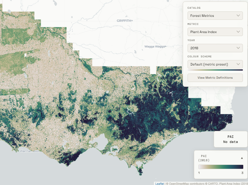
04 — Forest Metrics
↗
Forest Structure
& Extent
Structural fuel metrics characterising canopy architecture — key inputs for fire behaviour modelling, prescribed burning and land management.
Canopy height
FPC
PAI
FHD
Woody extent